ARV
Synopsis
This Airship Research Vessel is a concept that supports a six person team to analyze disaster data from the air.
Thank you to TEAGUE for support through this project.
Skills
SolidWorks | Keyshot | VR Exploration
Credits
Professor - Jason Morris
Design - Ray McVicker
Design - Keith Forsyth
Design - Elise Batten
Date
Fall 2023

Designers
Keith Forsyth
Primary Focus: Research | Spatial Design
Secondary Focus: Rhino Modeling | VR Visualization

Ray McVicker
Primary Focus: Synthesis | Human Factors
Secondary Focus: Synthesis | Illustration | CAD
Elise Batten
Primary Focus: CMF
Secondary Focus: Visualization | User Synthesis

Madi Fassiotto
Primary Focus: VR Concept Testing | Illustration
Secondary Focus: Research | Visualization
Flooding impacts more people than any other environmental disaster.

Current specialists are often far from the disaster site, limiting situational awareness.
When a flood is predicted, the community and rescue teams are altered.
Specialists work together, though often from different locations and lack in person collaboration.
A holistic view of the scenario can be difficult when access is limited.
How might we enhance mitigation and response to flooding through advanced research and on-scene observation?
Before we could answer this, we needed to better understand:
-
Timeline
Organizations
Methods
-
Mapping Methods
Geographic Information Systems
Data Analysis
-
Emerging Technology
Strengths
Driven By Research


Tom | Land Surveyor + Humanitarian Aid Volunteer
“Situational awareness is everything.”


Grey | Contract Pilot for USGS + NOAA
“I could see an airship’s innate qualities being well suited for data collection.”
Liz | Whatcom Emergency Manager
“It is a teamsport, it isn’t as much about what you know but who you know.”
Additional Research
We continuously researched through found articles and organizations as well as recommendations from those we interviewed.
-
Ivan | Cargo Ship Captain
Rhyl | Marine Researcher
Matt | Wildland Firefighter
-
ESRI | GIS Mapping Software
LTA | Airship Developer
HOT | Humanitarian Open Street Map Team
-
OceanXplorer: Inside the world’s most advanced research vessel.
New York Times: New Data Reveals Hidden Flood Risk Across America
NSSL: Severe Weather 101
CBO: FEMA’s Disaster Relief Fund
Key Insights
Dedicated individuals supporting those in need.

Who is responding?
Red Crescent, Red Cross, NOAA, USGS + more.
What is being done?
Providing resources, medical assistance, search and rescue, infrastructure, and logistics.
How can this be supported?
Ground support personnel can be better informed and supported through enhanced communication with informed aerial observation.
Data Collection
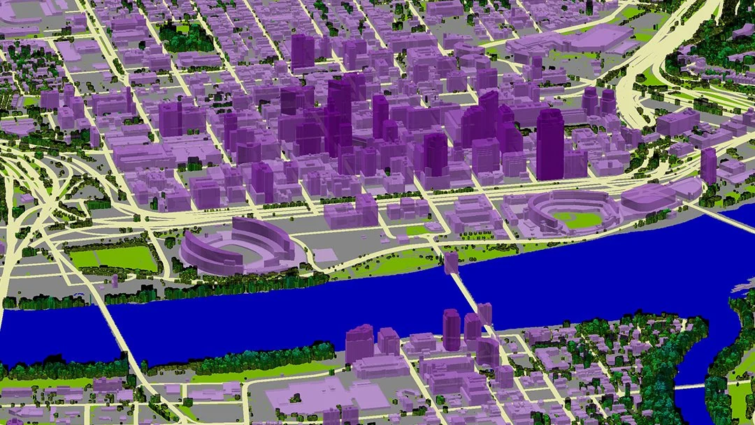
Surface imagery and LiDAR are crucial forms of data collection throughout a humanitarian crisis. Collection is primarily done through satellites and imagery, each having unique capabilities.

Data Analysis
GIS (geographic information system) is a mapping software used to visualize and understand data spatially. Used in parallel with on-scene observation it allows for a high level of situational awareness.
Data Application
Numerous applications for both humanitarian criss mitigation and response.
-
Develop hazard maps and identify flood prone zones.
-
Determining vulnerability of communities and infrastructure.
-
Tracking the progression of the flood and damage.
-
Identifying safe routes to increase evacuation efficiency.
-
Deploying personnel and resources where it’s most.
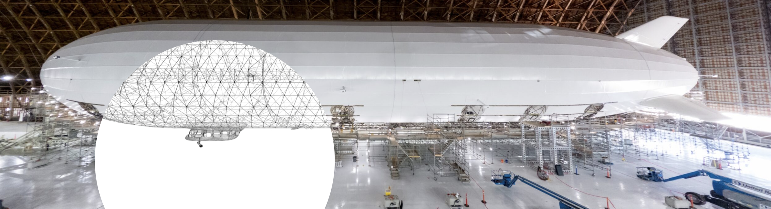
Tethered to reality and future possibility.
Lighter than Air Research is developing the next generation of airships focusing on advancing humanitarian aid. The Pathfinder 1 is a proof of concept vessel LTA is currently developing. An airship designed for disaster response, leveraging its strengths of endurance, low airspeed, and hauling capacity, is a promising concept.


Airship Research Vessel
A human-centric spatial design of an airship gondola which supports a dynamic team in understanding an affected areas’s needs, resources, and allows them to better record insights to improve future response.
Meet the Team
Onboard Specialists

Data Analyst
Needs:
Monitor and workspace
Reliable data
Communication (internally)
Flight Crew

Pilot
Needs:
No distractions
Visibility
Communication with crew

Logistics Coordinator
Needs:
Situational awareness
Ease of communication (external)
Rapid communication (internal)

Co-Pilot
Needs:
No distractions
Communication (internal + external)
Crew coordination

Systems Specialist
Needs:
Visibility
Access to sensors and cameras
Communication (internal)

Technician / Deck Hand
Needs:
Awareness of ship condition
Access for maintenance
Tools
Design Criteria
To improve early earning systems and disaster response through the following:
-
Interior design supports connection between team and provides space for team work.
-
Real time visibility of disaster benefits specialists’ understanding of disaster data and informs analysis.
-
Open sight lines throughout the ship boost onboard communication. Multiple external transmission methods creates efficient communication with stakeholders on the ground.
-
In-person communication and situational awareness assists in prompt, informed decision-making.
-
Flexible work space enables specialized teams to adjust space to fit their needs.
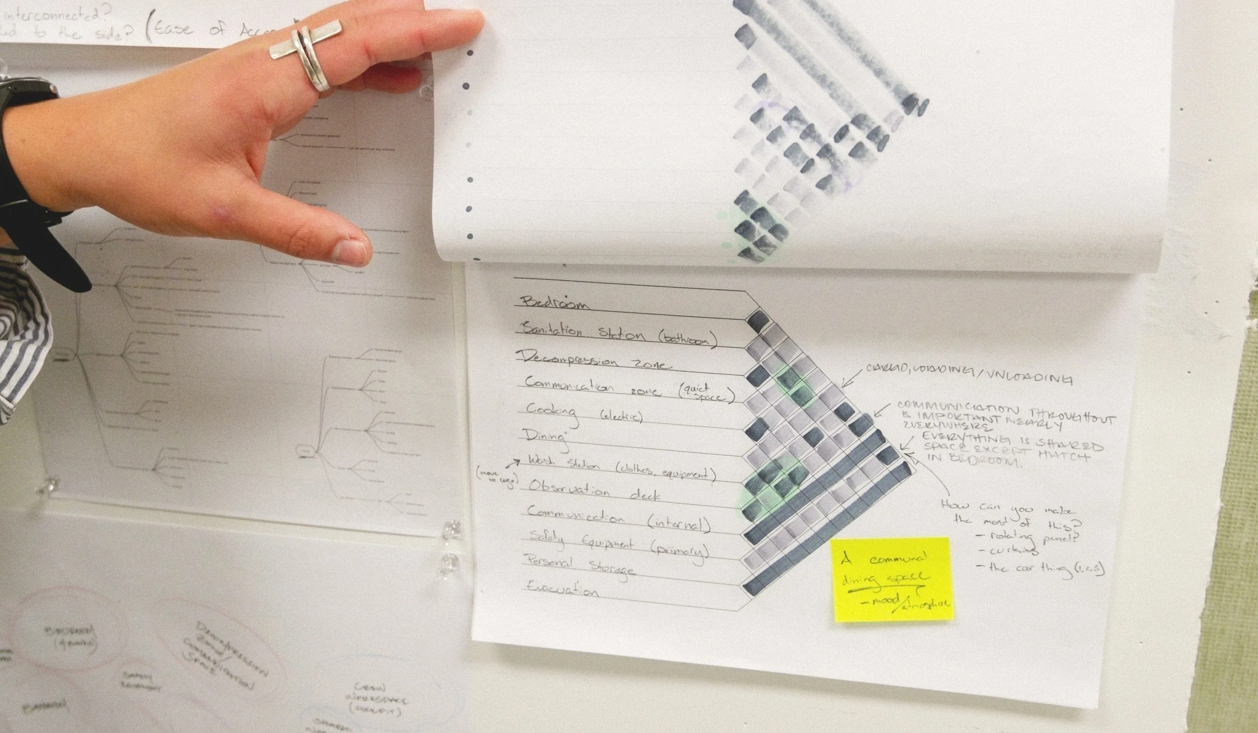
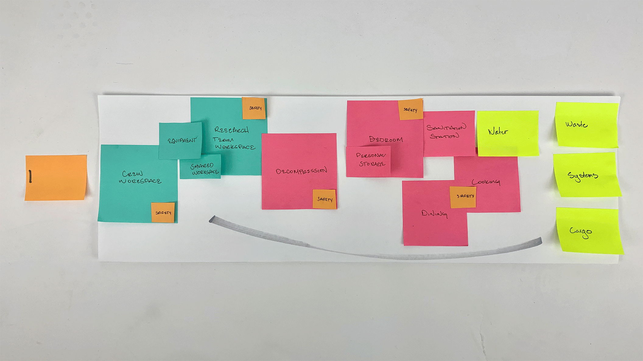
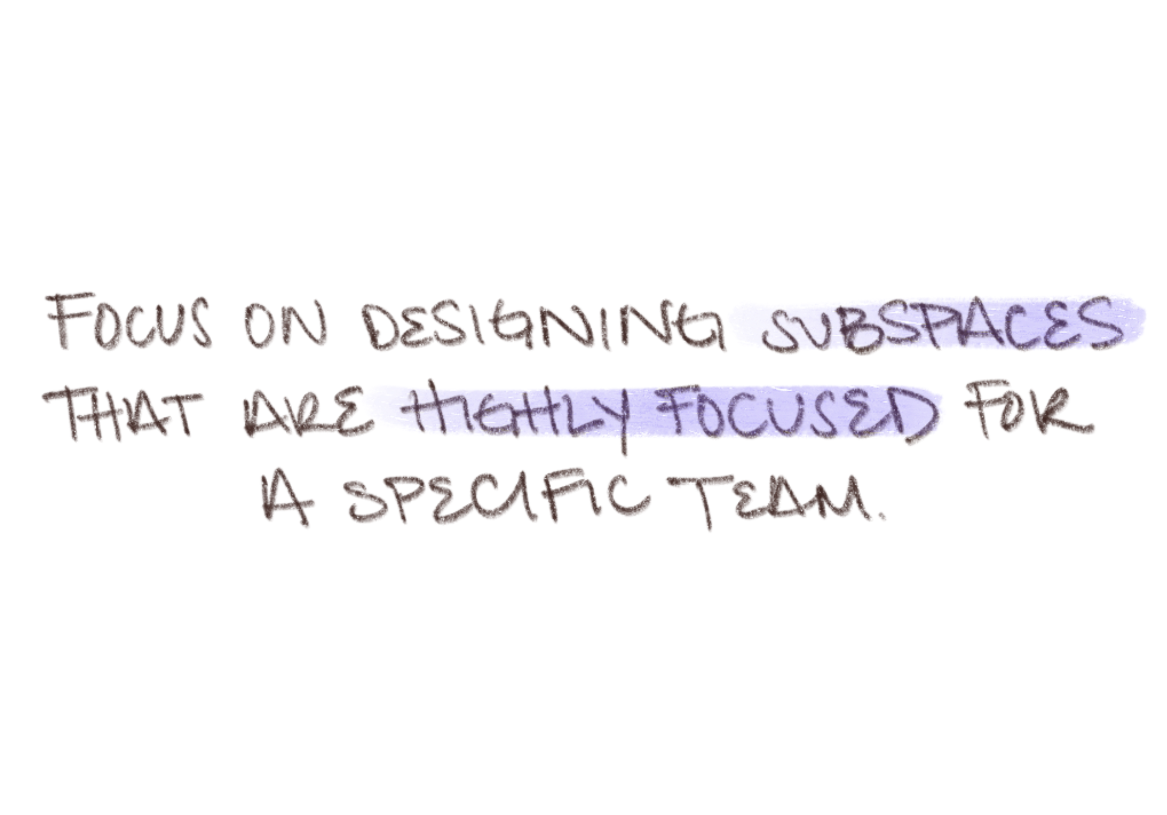
Spatial Design Ideation
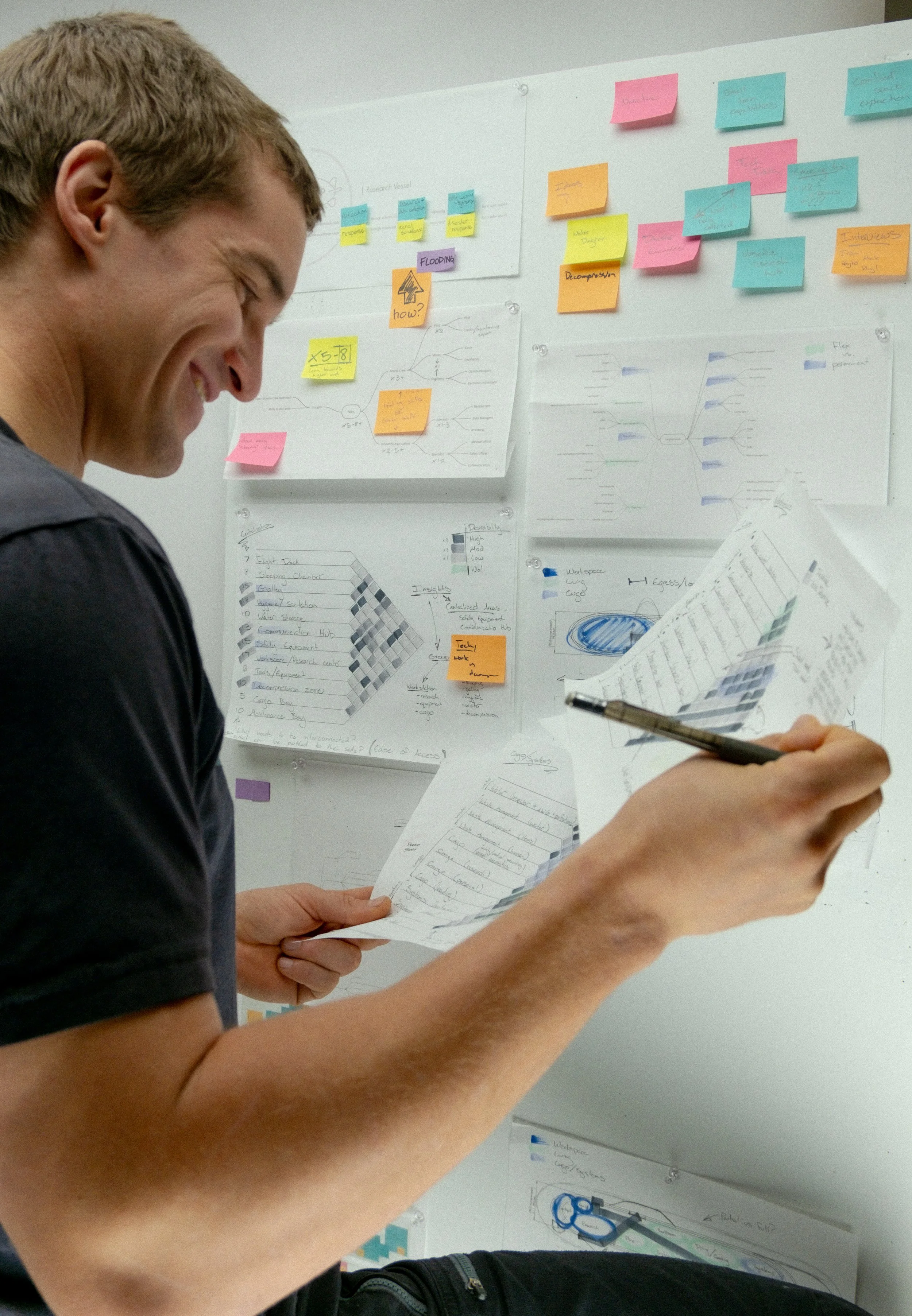
Exploring and addressing the needs of ARV’s team members through design matrixes, block floor planning and journey mapping.


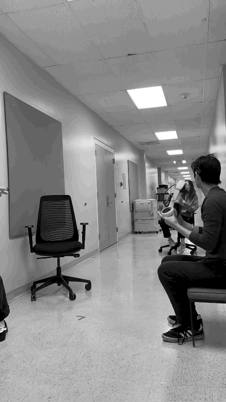
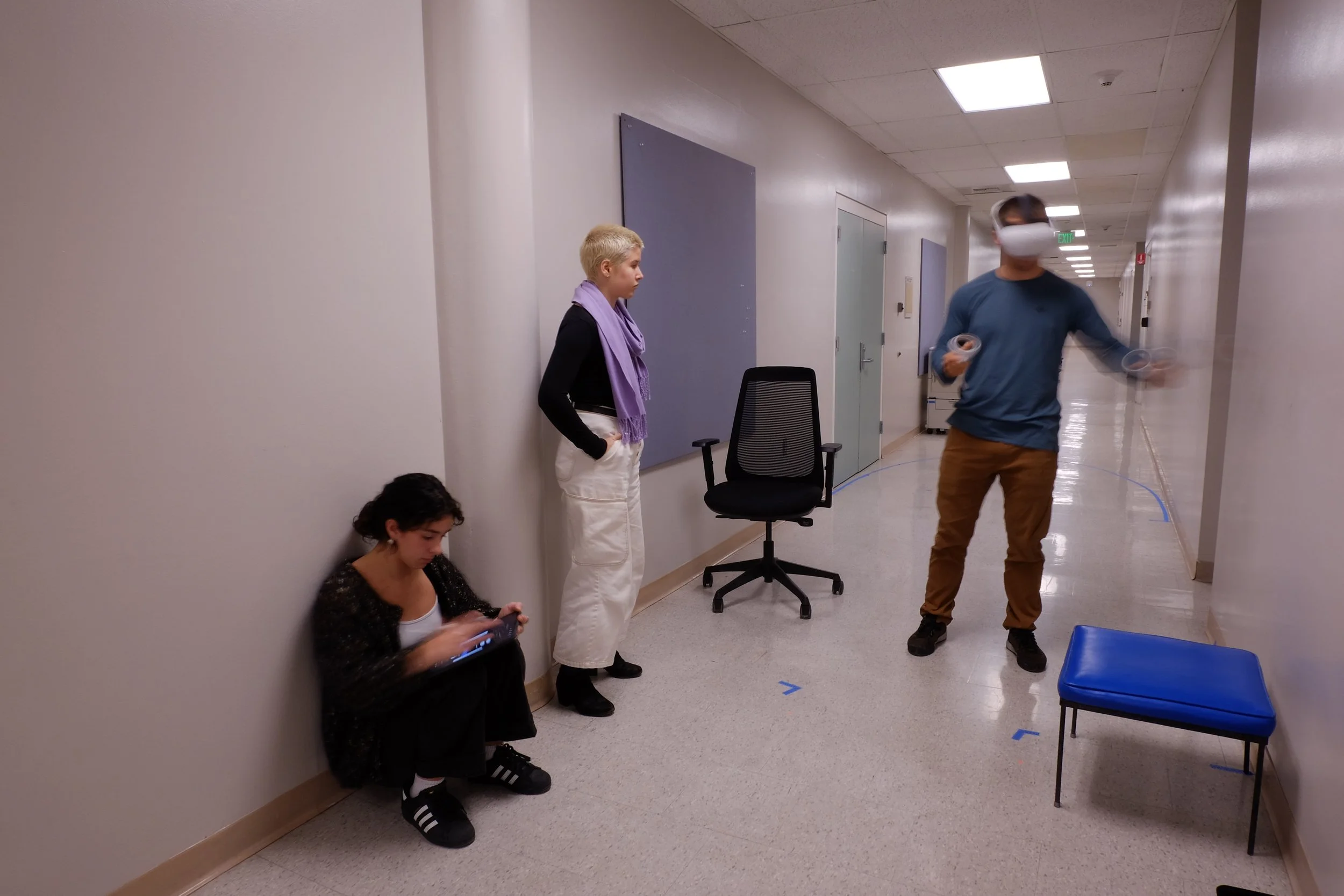
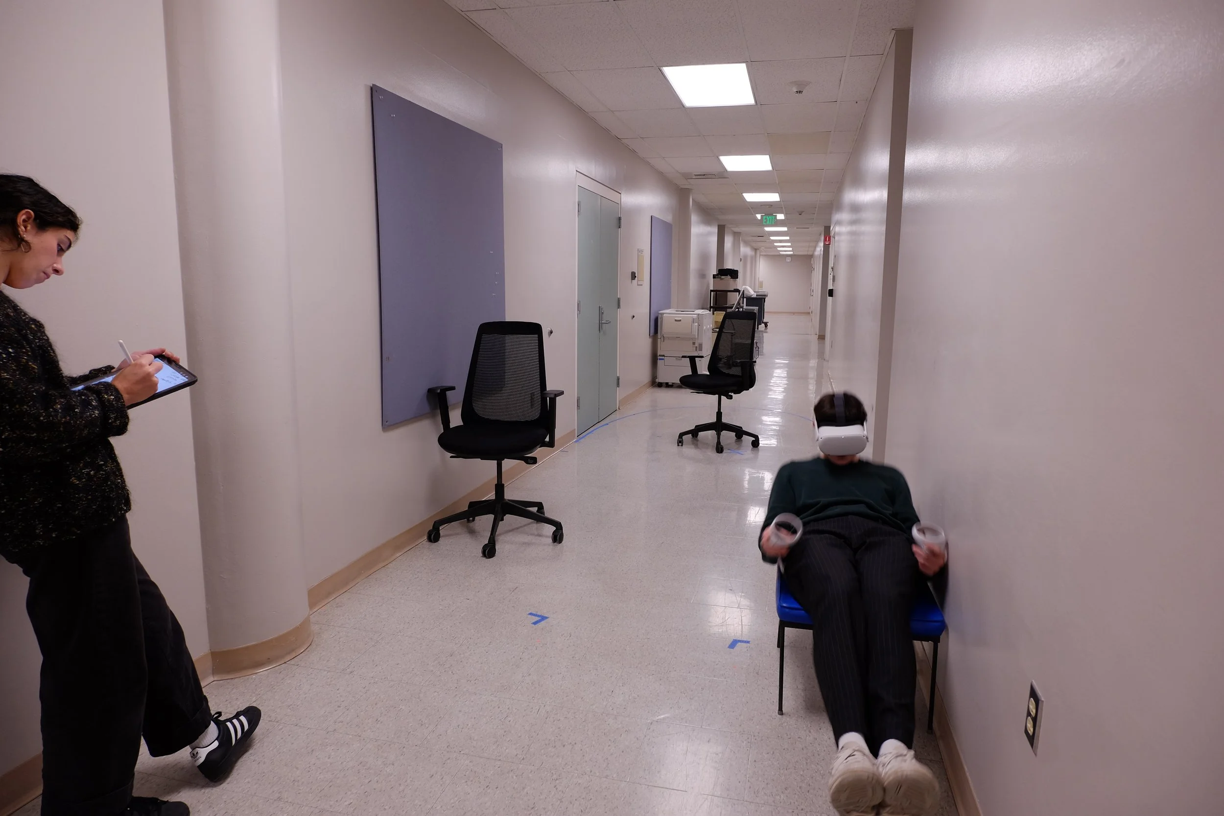
VR Spatial Design Refinement
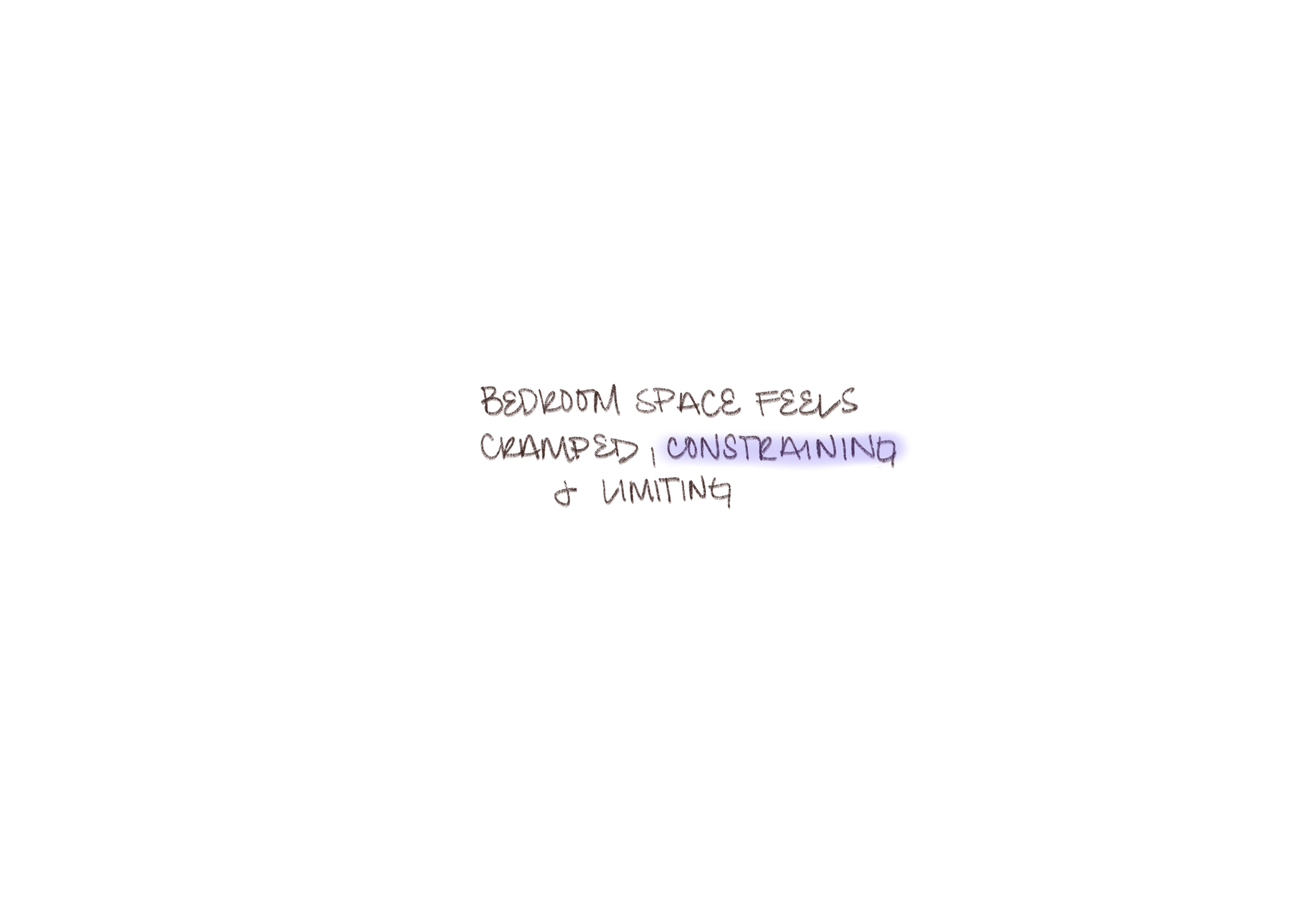
To verify design decisions, we used virtual reality in tandem with props to conduct spatial design, ergonomics and human factor tests.


Airship Considerations
-
Positioned at the front and rear, as well as on both sides of the gondola, each equipped with a safety module.
-
Enhance aerial observation and provide increased natural lighting.
-
Designed to house the camera, LiDAR, and storage systems.
-
Regulated to minimize excessive movement within the gondola given a period of turbulence.

Architectural Vision

Design Language

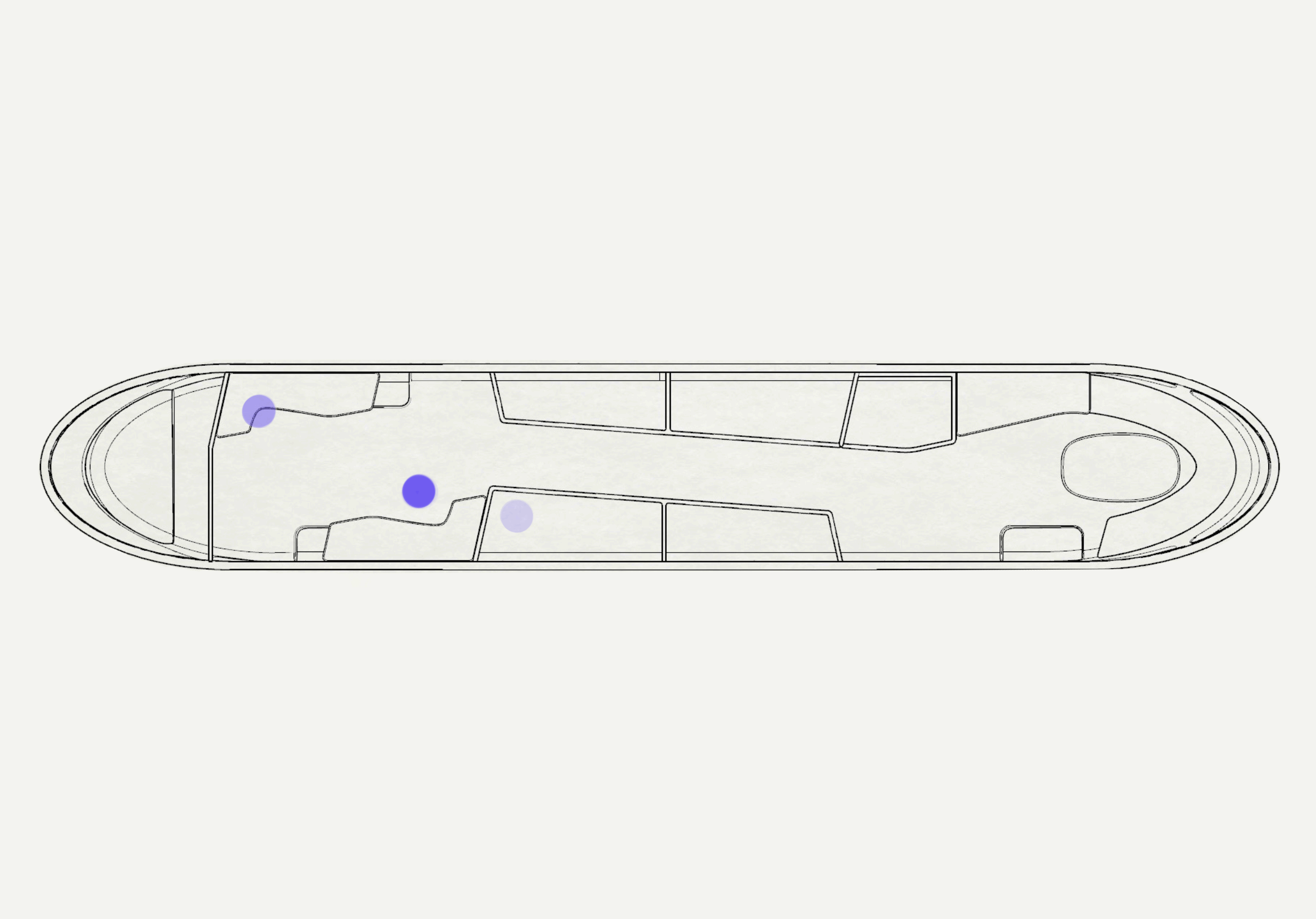
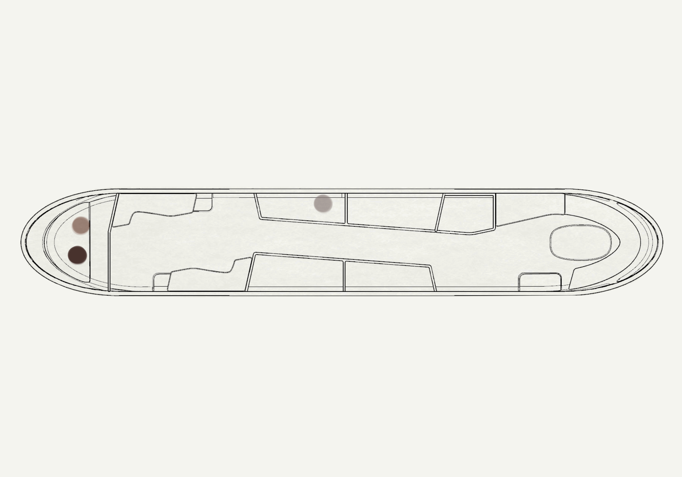
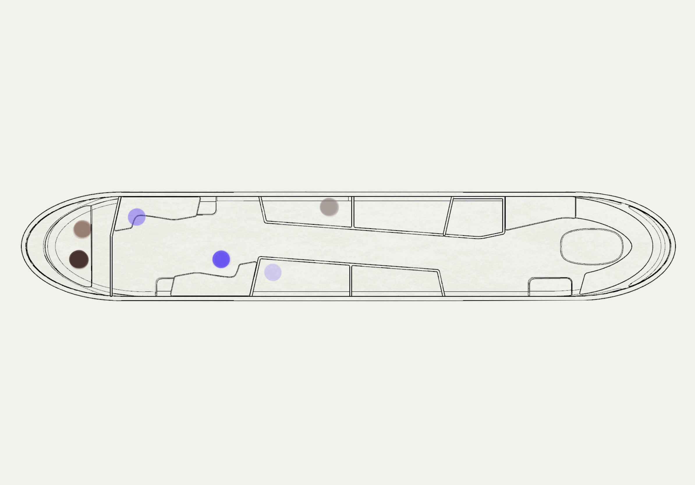
Floor Plan
Work
Living
Living +

VR Validation
Specialists Workflow
Specialists spend most of their time in the work space collaborating.
Crew Workflow
While the crew’s primary space is the cockpit, they need access to the ship’s facilities.


Understanding Shared Space
Spatial design driven by the individual and combined needs of the specialists and crew.


Situational awareness of disaster supports informed decisions.
Work
Parameter work station layout allows easy access to external systems for maintenance crew.
Personalized adjustability promotes a collaborative and dynamic work environment.

Workspace seating equipped for takeoff and landing.
Living
Noise reduction screens provide a more private and serene space.
Individualized storage for crew’s personal belongings.

Cookware and dry food storage is accessible.
Living +
Shared dining space strengthens onboard community.
Induction stovetop and fresh food storage provides sense of home.
Lighting Vision

Color Palette
Brown is the color of stability, honesty and comfort.
Cream is the color of simplicity, tranquility, and modernism.
Indigo is the color of integrity, structure, and order.

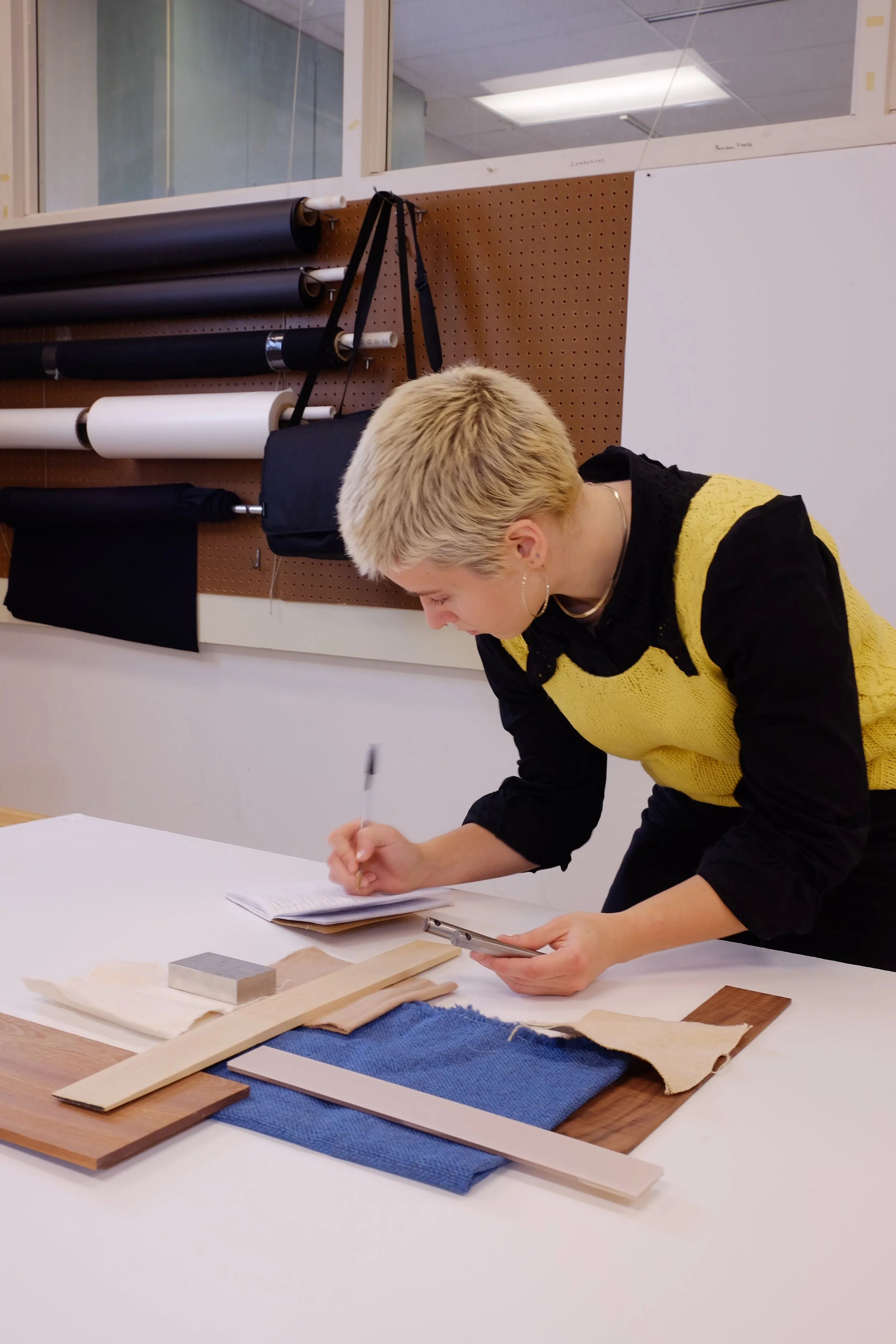
Material Palette
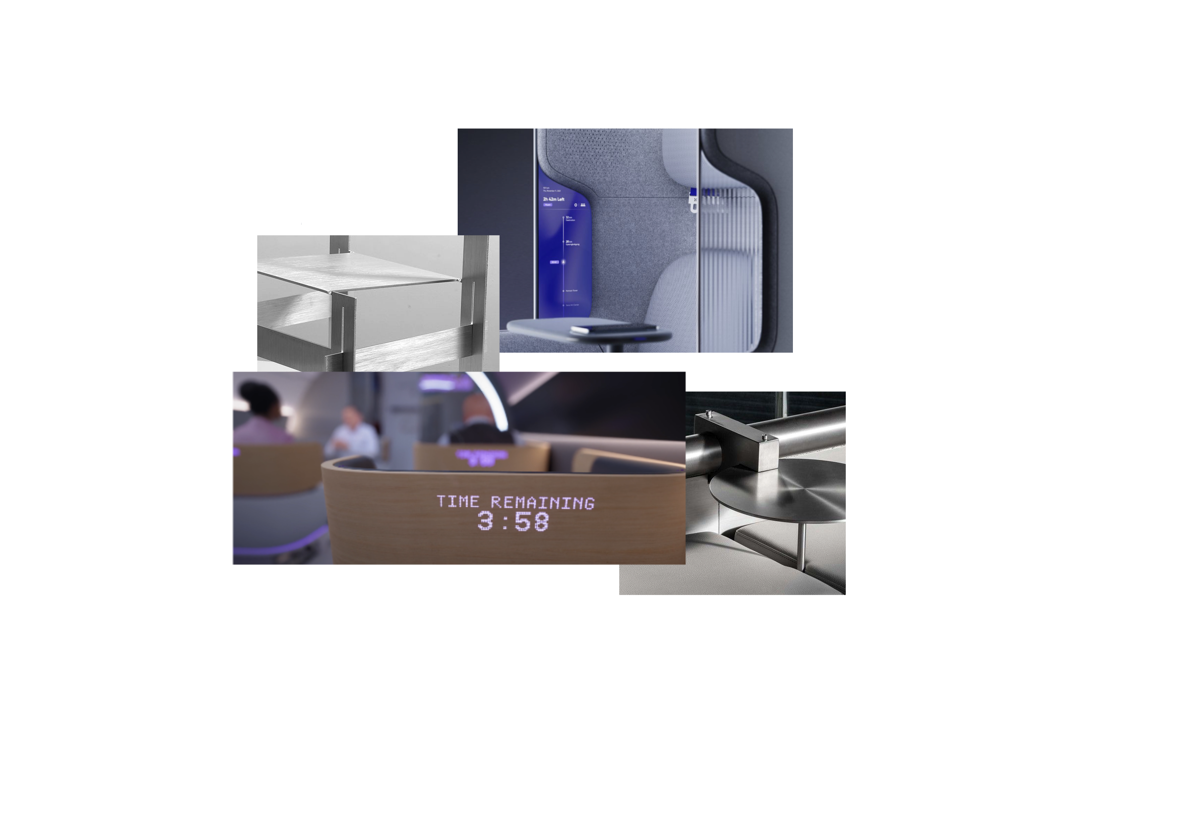
Tactility in Work
-
Smart devices used to facilitate work flow and communication.
-
Increased visibility and natural lighting.
-
Structural material highlighting adjustability on chairs.


Privacy in Living
-
ABS structure provides lightweight wall panels with ease of cleaning.
-
A functional antibacterial alternative to felt where soundproofing is needed.
-
Light wood accents to provide warmth and comfort.
Comfort in Living +
-
Incorporation of textiles creates an inviting feel to the living spaces.
-
Utilized for kitchen appliances and ease of cleaning.
-
Natural wood tones bring a warm quality to the living space.